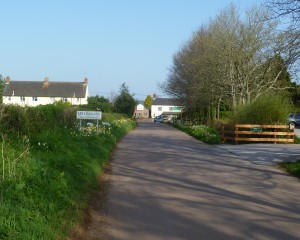
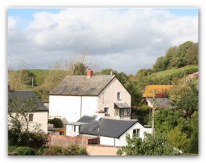
 The Leat that runs through the centre of Uplowman is a feature of the village.
The definition of a “leat”, which is more common in the south-west, is a name for an artificial watercourse, or aqueduct dug in to the ground, especially one supplying water to a watermill or it’s mill pond.
In this case the leat through Uplowman was created to both drain the fields and to supply water to Sampford Mill at Sampford Peverell, but also for farmers to water their livestock. The Mill is now a private residence, together with a mill cottage that are built in to a dam wall which also serves as an access road to Sampford Barton. On the other side of the dam was a large millpond, now drained, which was fed by streams from Whitnage and the “leat” from Uplowman. The original watermill actually stood between the Mill and the cottage.
The leat runs from a weir on a tributary of the Lowman, starts near to Uplowman House passing through the fields down to Waterside Cottage and then down through Uplowman Cross, passing under the road and to Broadview Farm where it runs at the back and then under the A361 until it passes the original watermill and onward, under the canal, to the main road at Sampford Peverell by the public carpark. The latter part is now known as Mill Stream. Another part of the leat bears right just past the village hall, under the road and on towards Craze Lowman.
Picture of Sampford Mill, which was re-built in 1845.
It can be seen on the “tithe maps” of 1841 (see the section on Maps), which also shows the owners of the land, but we know that it was in existence in the late 18th century. Waterside Cottage was shown in 1841. There are documents from 1637 that discuss a man made water channel from Uplowman to Samford Peverell so perhaps it is earlier than first thought. Further research needs to be made on this.